
Thunderstorm and Lightning Expected to Continue Across Delhi-NCR
Indiadailyupdate.com – The Indian Meteorological Department (IMD) has issued an advisory indicating that thunderstorm and lightning expected to continue throughout the Delhi-NCR region on Wednesday. Residents across multiple districts are being urged to remain vigilant as meteorological conditions favor persistent convective activity. While no red alerts have been formally declared, the IMD recommends that citizens exercise caution, particularly during peak afternoon and evening hours when atmospheric instability is at its highest.
According to the latest weather bulletin, several key areas are likely to experience intense thunderstorms accompanied by frequent lightning strikes. These include Ghaziabad, Gautambudhnanagar, West Delhi, North Delhi, North West Delhi, New Delhi, Southeast Delhi, Shahadra, and South Delhi. Faridabad and Gurgaon are separately forecasted to receive heavy rainfall, which may exacerbate existing waterlogging issues in low-lying zones.
Impact on Daily Life and Infrastructure
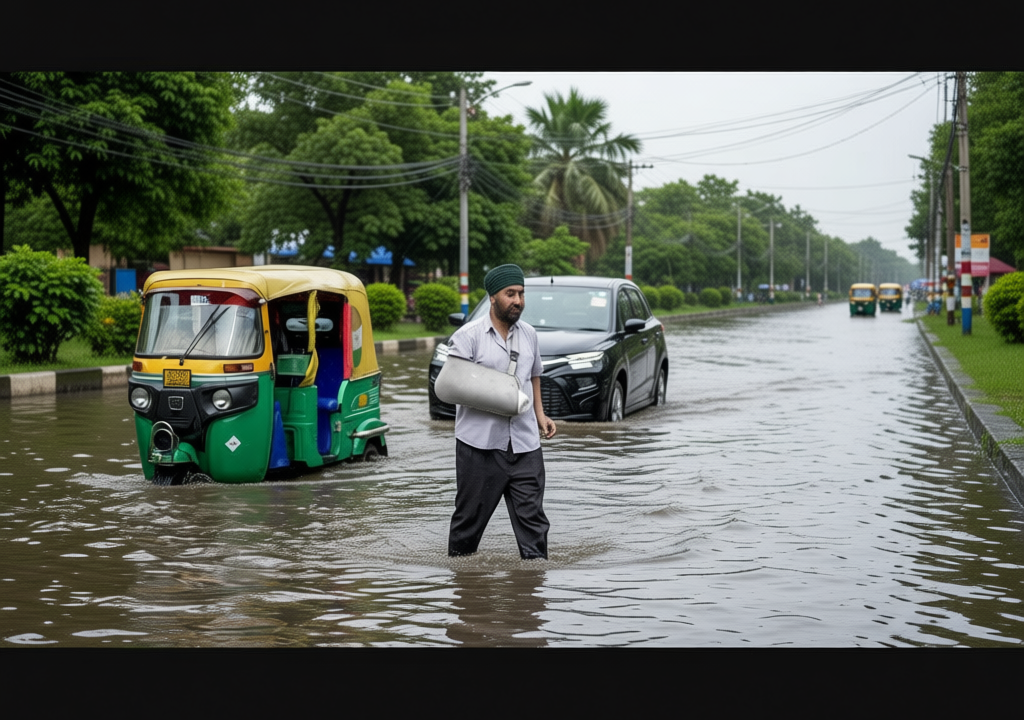
The region is already grappling with significant water accumulation following substantial rainfall during the latter half of Tuesday. Major commercial and residential hubs such as Connaught Place, Khan Market, and Sadar Bazar in Central Delhi have reported considerable waterlogging, disrupting morning and evening commutes. Traffic authorities have advised drivers to avoid congested routes and allow extra time for travel.
Besides infrastructure strain, the persistent weather pattern has also influenced local temperatures. The capital recorded a maximum temperature of 38.1 degrees Celsius and a minimum of 28.6 degrees Celsius on Tuesday. With the ongoing thunderstorm and lightning expected to continue, meteorologists anticipate a gradual cooling trend over the next 48 hours, particularly in areas receiving heavier precipitation.
Monsoon Dynamics and Atmospheric Conditions
The current wave of intense weather is not solely attributed to the seasonal monsoon. An elongated low-pressure region, commonly referred to as a monsoon trough, is currently positioned south of Delhi. This atmospheric feature is actively channeling moisture-laden air across Northern, Central, and Eastern India, as confirmed by the IMD’s official bulletin. Additionally, two upper-air cyclonic circulations—one over southwest Rajasthan and another over Central Uttar Pradesh—are contributing to the heightened instability.
Independent meteorologist Navdeep Dahiya highlighted on social media platform X that the season’s first Bay of Bengal depression has moved inland, further strengthening the monsoon trough. This convergence of multiple weather systems explains the widespread and sustained nature of the current rainfall event.
On a broader scale, the southwest monsoon, which began its seasonal progression with a sluggish start, has shown signs of improvement. National rainfall deficit stood at 40 per cent in June but has since narrowed to 16 per cent as of early July. This recovery suggests that the current weather pattern may persist longer than initially projected, keeping the thunderstorm and lightning expected to continue beyond Wednesday.
“The combination of an active monsoon trough and upper-air cyclonic circulations is creating ideal conditions for prolonged convective activity across the National Capital Region,” stated an IMD spokesperson.
Residents are advised to secure loose outdoor items, avoid open areas during lightning strikes, and monitor official weather updates for any changes in alert levels. Emergency services remain on standby should conditions deteriorate further in the coming days.